Price excl. VAT
Available as instant download
- Article number: AS14580
- Manufact./Publisher: Just Flight London
- Language: English
- Current version: 1.10
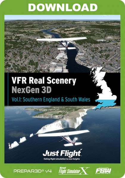
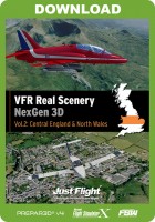
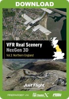
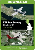
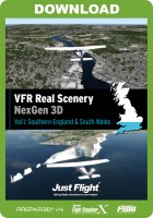
VFR Real Scenery NexGen 3D is the next generation of Just Flight’s hugely popular VFR Real Scenery series.
The NexGen 3D software uses the very latest 25cm and 50cm aerial images at 1.2m ‘in sim’ resolution, rising to 60cm around airports.
In addition to new imagery, the scenery now uses Just Flight’s new GenMart system to add a huge array of autogen objects for an immersive ‘3D’ feel. The combination of photographic scenery with accurately placed autogen objects gives a truly realistic representation of flying over the real world. As well as trees, houses and industrial buildings, the object library contains features such as wind turbines, wind farms, lighthouses and churches, all placed where their real-world counterparts are located.
Features:
- Multiple simulator support - the scenery can be active in all your supported simulators at the same time using a single installation
- 25cm/50cm aerial photos taken from 2015 onwards used as source imagery
- Scenery Manager utility included so you can adjust scenery options and activate/deactivate the scenery in individual simulators
- Performance boost - because the display of photo textures and individually placed autogen objects is more efficient than the generic tile-based system used in default scenery, the performance of your simulator(s) will actually improve when NexGen 3D scenery is being used!
- 1.2m/pixel general texture resolution. The texture resolution around airports and specific points of interest is 60cm/pixel.
- 5m (ultra-high) elevation mesh resolution
- Comprehensive 3D autogen coverage of buildings and vegetation, accurately placed from real-world data
- Numerous additional custom scenery objects
- Adjusted default landmark objects
- Optional custom night textures
- All water areas are created as simulator 'water' and are fully landable in appropriate aircraft
- Default airports or runways have been adjusted as necessary
- Automatic updating as new or expanded data becomes available
- Compatible with third party airport sceneries
Click here to see the manual.
The map below shows the area covered in this volume - click for an expanded version. The exact boundaries of the area covered in the volume may differ slightly from this map when the software is installed in your simulator.
AIRPORTS IN THIS SCENERY AREA:
- EGDM Boscombe Down
- EGDN Netheravon Army
- EGGW Luton
- EGHF Lee-on-Solent
- EGHH Bournemouth
- EGHI Southampton International
- EGHJ Bembridge
- EGHL Lasham
- EGVO Odiham AB
- EGHN Sandown
- EGHO Thruxton
- EGHP Popham
- EGHR Goodwood
- EGKA Shoreham
- EGKB Biggin Hill
- EGKH Headcorn
- EGKK Gatwick
- EGKR Redhill
- EGLC London City
- EGLD Denham
- EGLF Farnborough
- EGLG Panshanger
- EGLJ Chalgrove
- EGUB Benson AB
- EGLK Blackbushe
- EGLL Heathrow
- EGLM White Waltham
- EGLS Old Sarum
- EGMC Southend
- EGMD Lydd
- EGMH Manston
- EGSG Stapleford
- EGSL Andrewsfield
- EGSQ Clacton
- EGSR Earls Colne
- EGSS Stansted
- EGSX North Weald
- EGTB Booker
- EGTD Dunsfold
- EGTF Fairoaks
- EGTH Hatfield
- EGTI Leavesden
- EGTK Kidlington
- EGTO Rochester
- EGTR Elstree
- EGVA Fairford
- EGVN Brize Norton AB
- EGVP Middle Wallop
- EGWE Henlow AB
- EGWN Halton AB
- EGWU Northolt AB
- UK03 Enstone
Microsoft Flight Simulator X, FSX: Steam Edition or Lockheed Martin Prepar3D V1-V5
Windows 10 / 8 / 7 / Vista
2.0 GHz or any Dual Core
8 GB RAM
2 GB graphics card
10 GB hard drive space
Download-Size: 6.7 GB


.jpg)
.jpg)
.jpg)
.jpg)
.jpg)
.jpg)
.jpg)
.jpg)
.jpg)
.jpg)
.jpg)
.jpg)
.jpg)
.jpg)
.jpg)
.jpg)
.jpg)
.jpg)
.jpg)
.jpg)
.jpg)
.jpg)
.jpg)
.jpg)
.jpg)
.jpg)
.jpg)
