Prezzi incl. 22% IVA
Disponibile come download immediato
Not in conjunction with other discounts.
*1- Numero Ordine: AS13866
- Publisher: Drzewiecki Design
- Lingua: English
- Versione corrente: 1.3
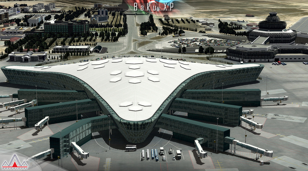
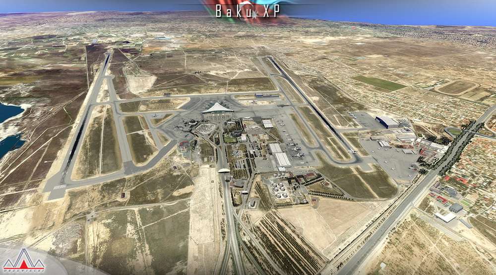
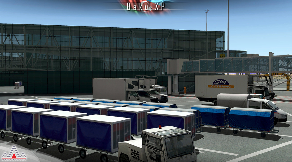
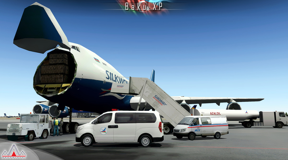
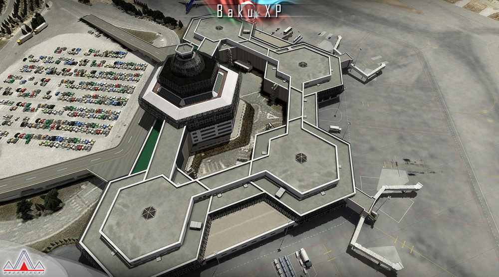
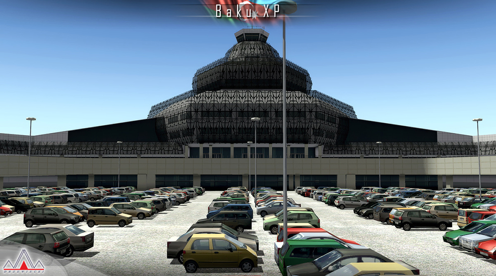
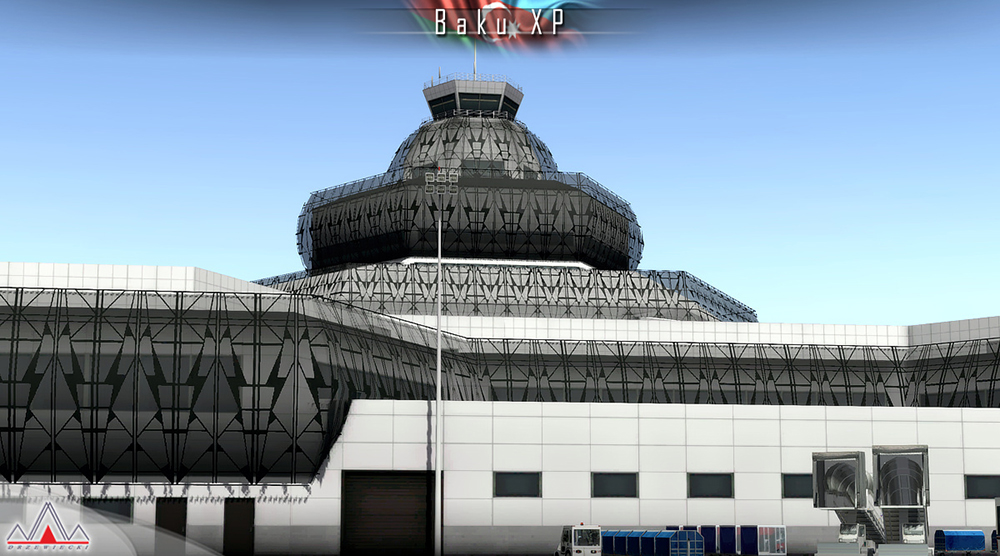
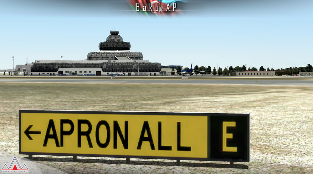
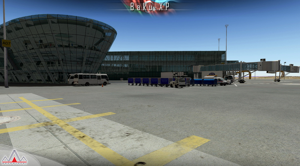
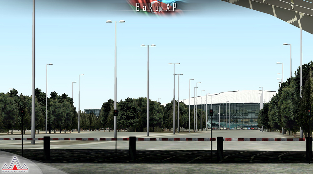
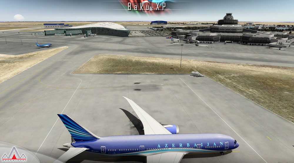
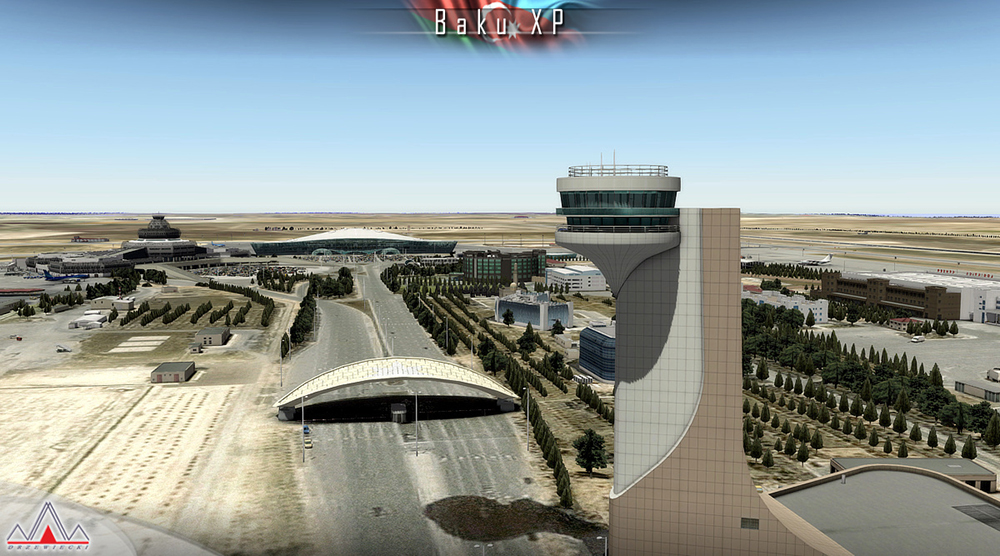
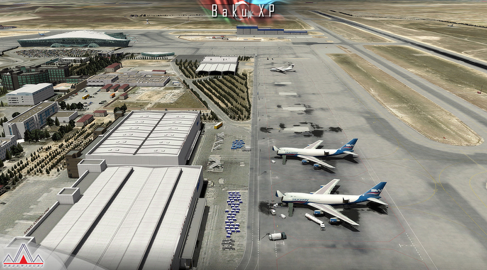
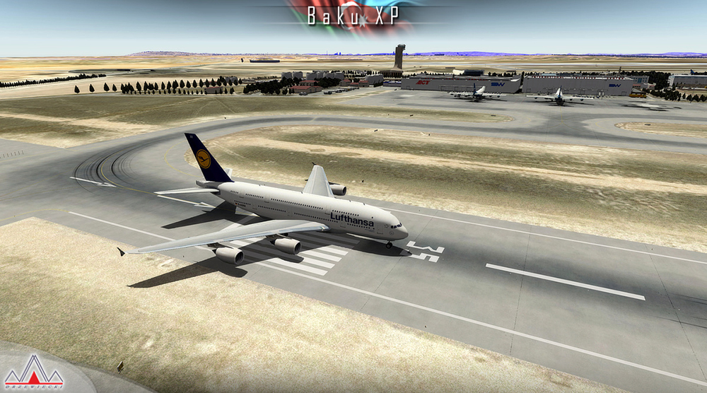
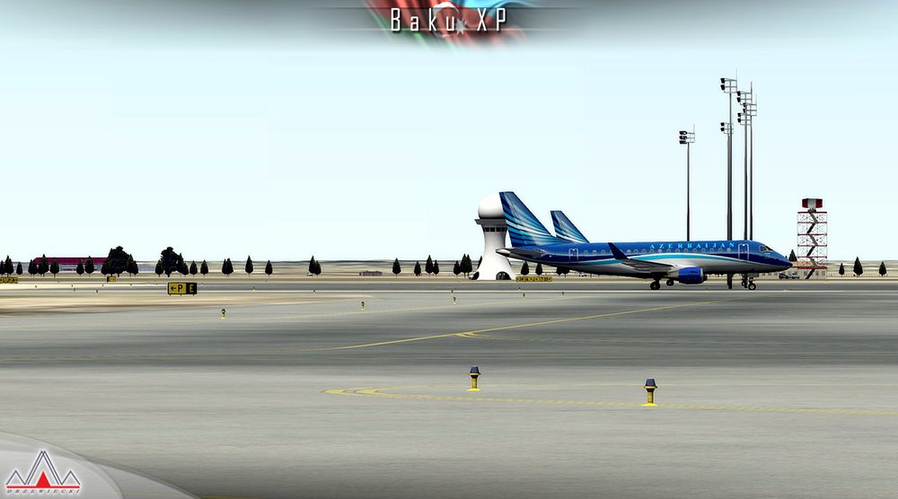
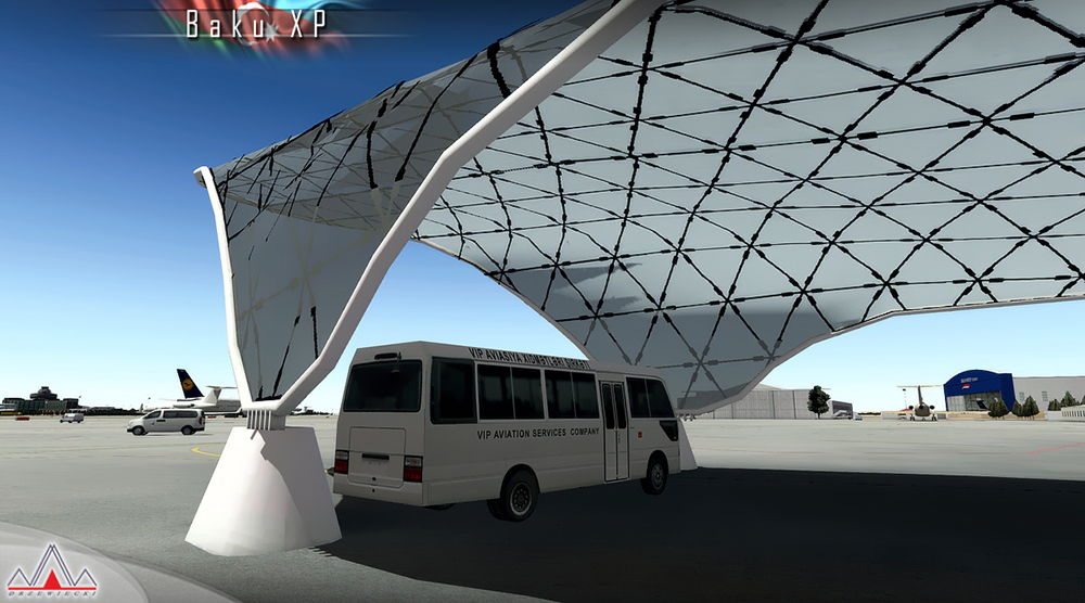
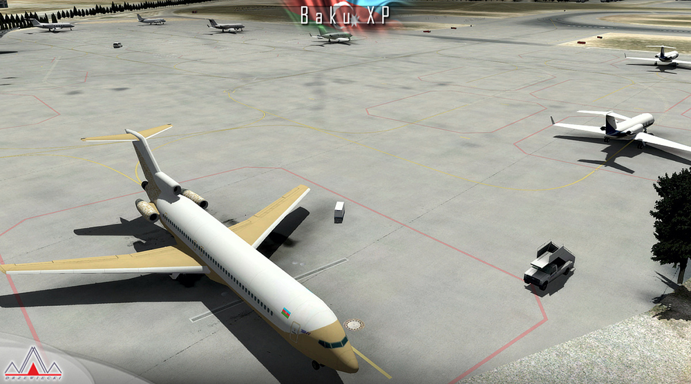
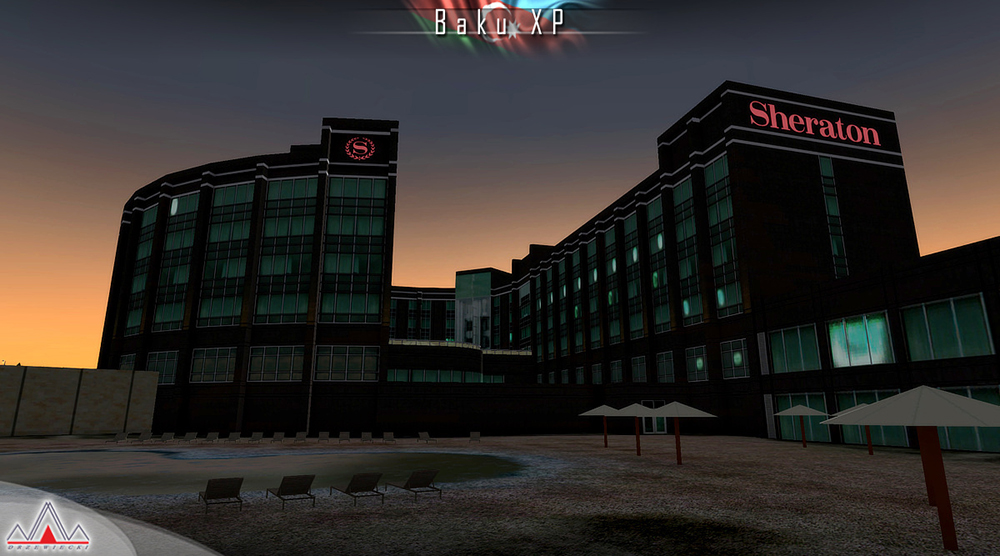
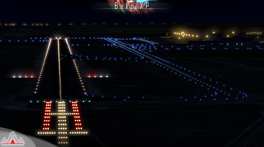
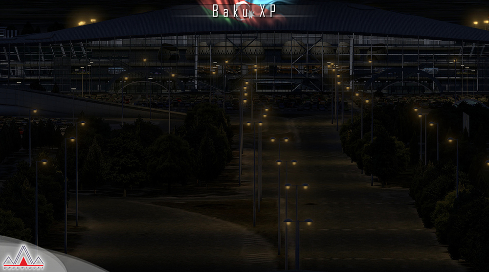
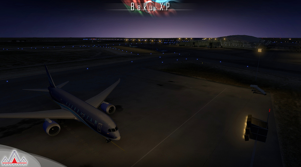
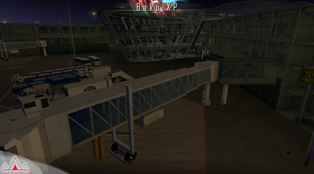
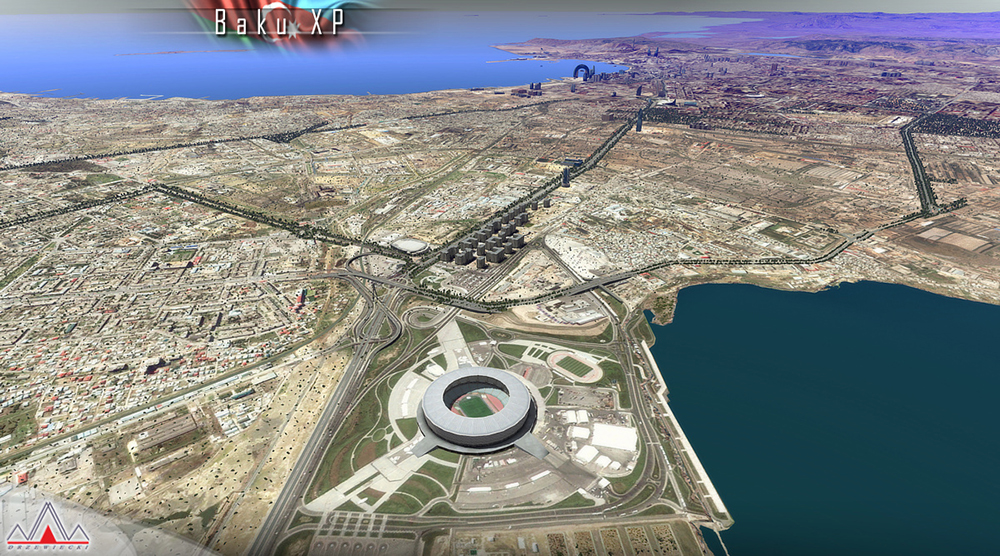
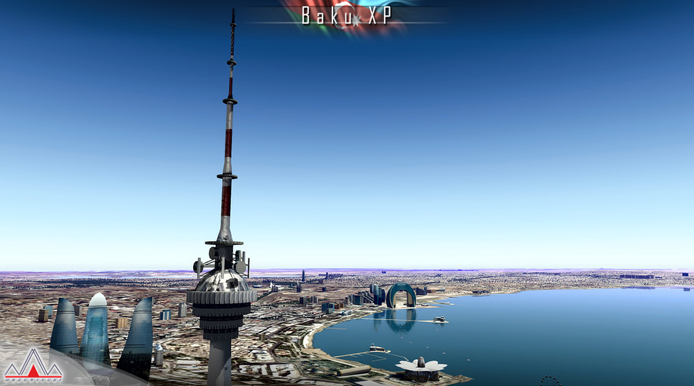
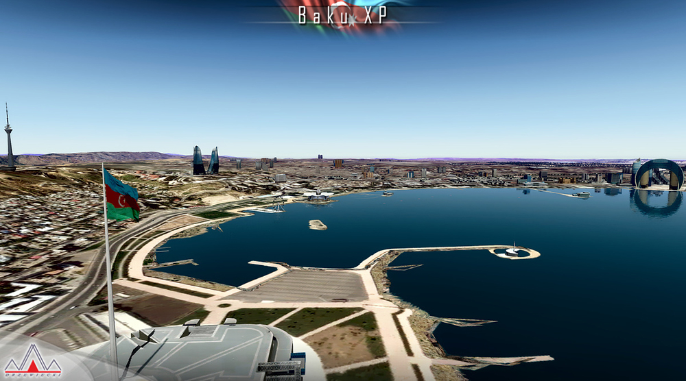
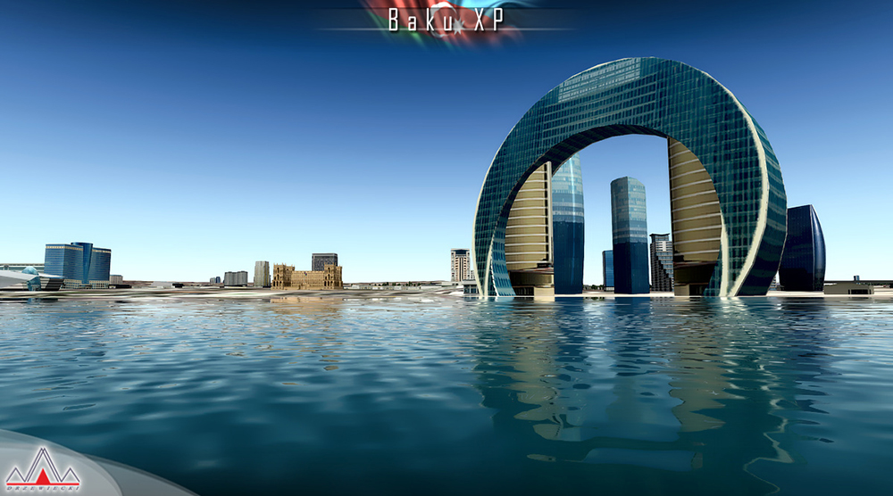
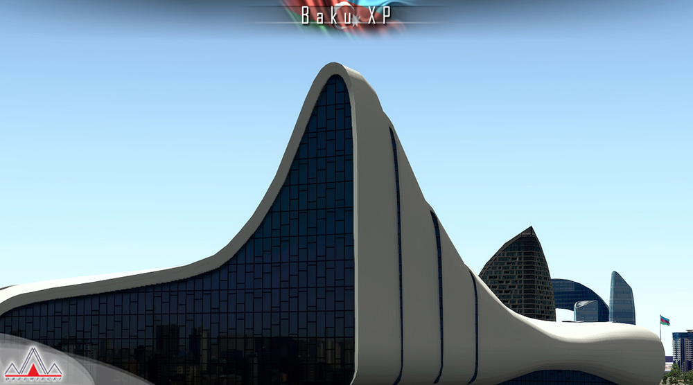
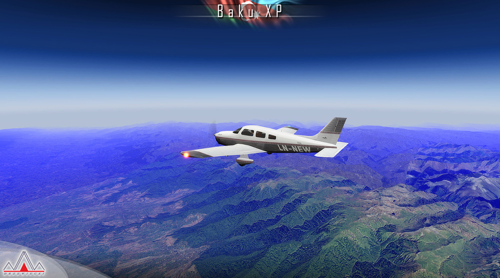
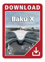
Baku XP features a detailed representation of UBBB Heydar Aliyev airport, Baku city with hundrieds of landmarks, all Azeri airports enhanced and the whole-country optional photoreal ground. This product is compatible with X-Plane.
The Republic of Azerbaijan is a country in the Transcaucasian region, situated at the crossroads of Southwest Asia and Southeastern Europe. It is bounded by the Caspian Sea to the east, Russia to the north, Georgia to the northwest, Armenia to the west and Iran to the south. The exclave of Nakhchivan is bounded by Armenia to the north and east, Iran to the south and west, while having a short border with Turkey in the north west. The Azerbaijan Democratic Republic proclaimed its independence in 1918 and became the first Muslim-majority democratic and secular republic.
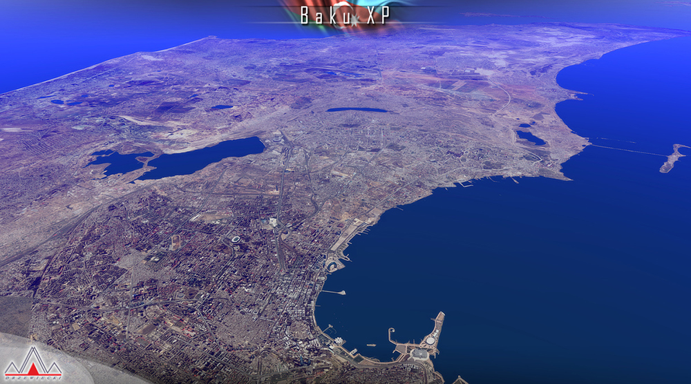
Baku is the capital and largest city of Azerbaijan, as well as the largest city on the Caspian Sea and of the Caucasus region. Baku is located 28 metres (92 ft) below sea level, which makes it the lowest lying national capital in the world and also the largest city in the world located below sea level. It is located on the southern shore of the Absheron Peninsula, alongside the Bay of Baku. At the beginning of 2009, Baku's urban population was estimated at just over two million people. Officially, about 25 percent of all inhabitants of the country live in Baku's metropolitan area.
Heydar Aliyev International Airport (IATA: GYD, ICAO: UBBB) (former Bina International Airport) is the main international airport in Azerbaijan located 20 km (12 mi) northeast of the capital Baku. The airport is the home of Azerbaijan Airlines, the national flag carrier. It is the busiest airport in Azerbaijan and of the Caucasus.
Scenery features:
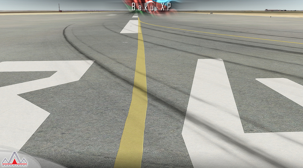
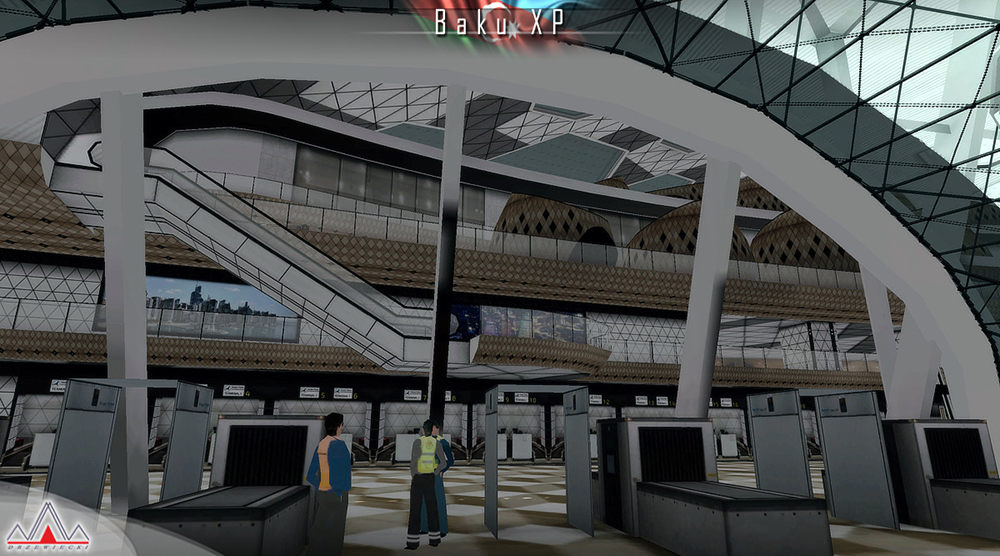
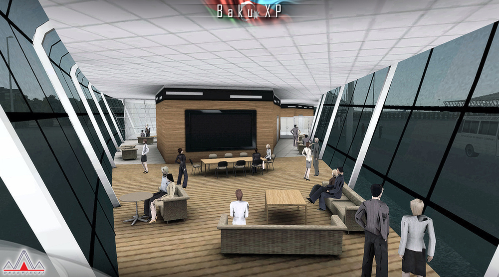
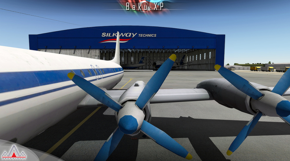
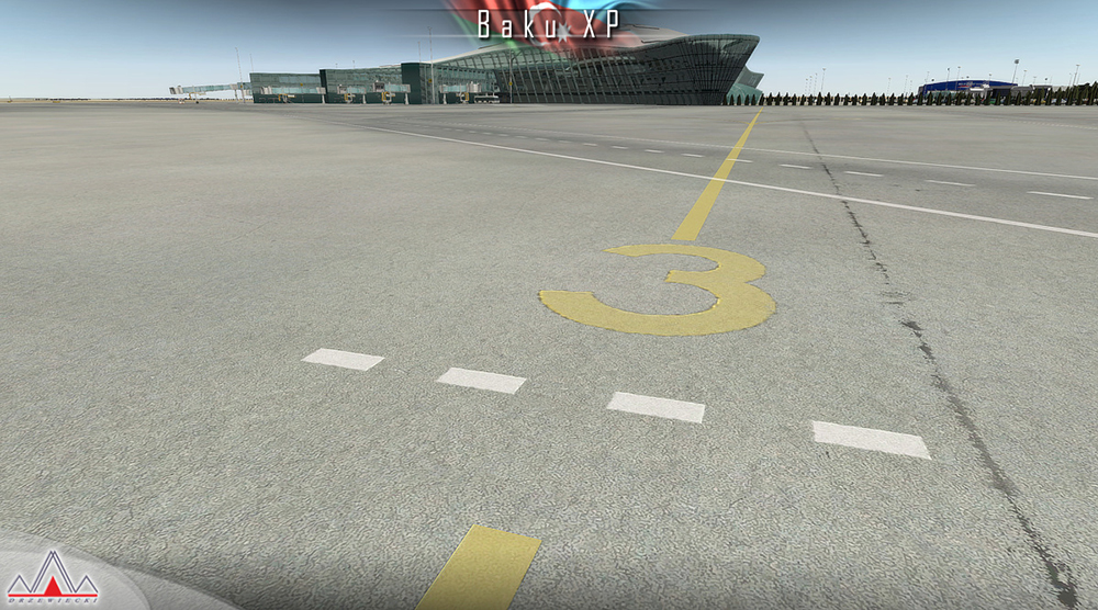
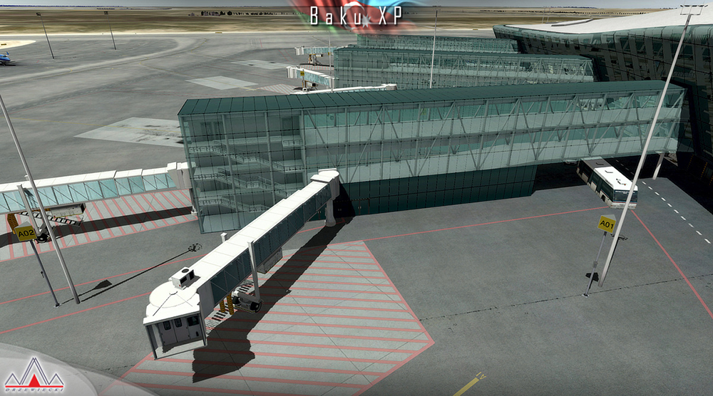
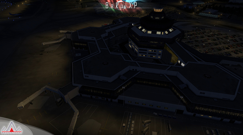
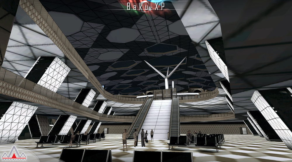
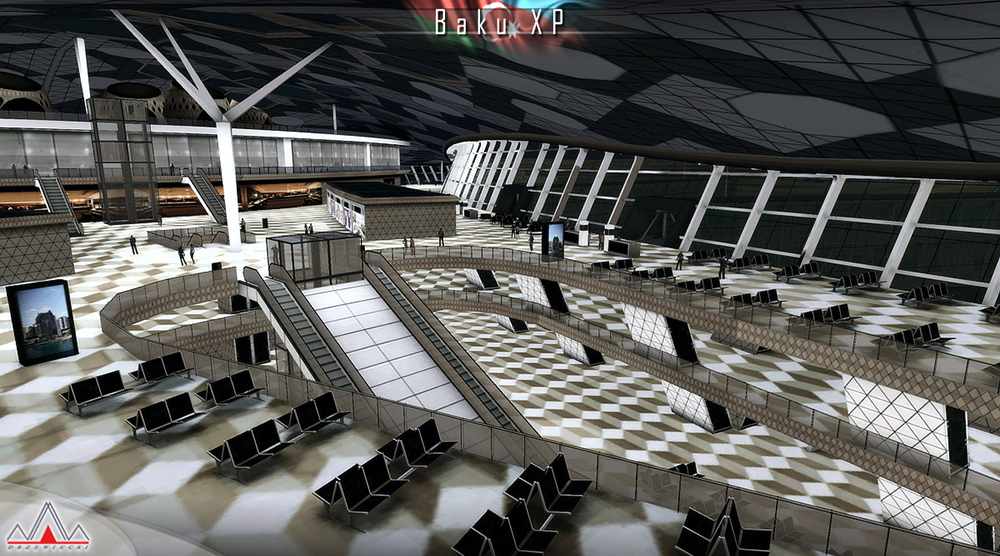
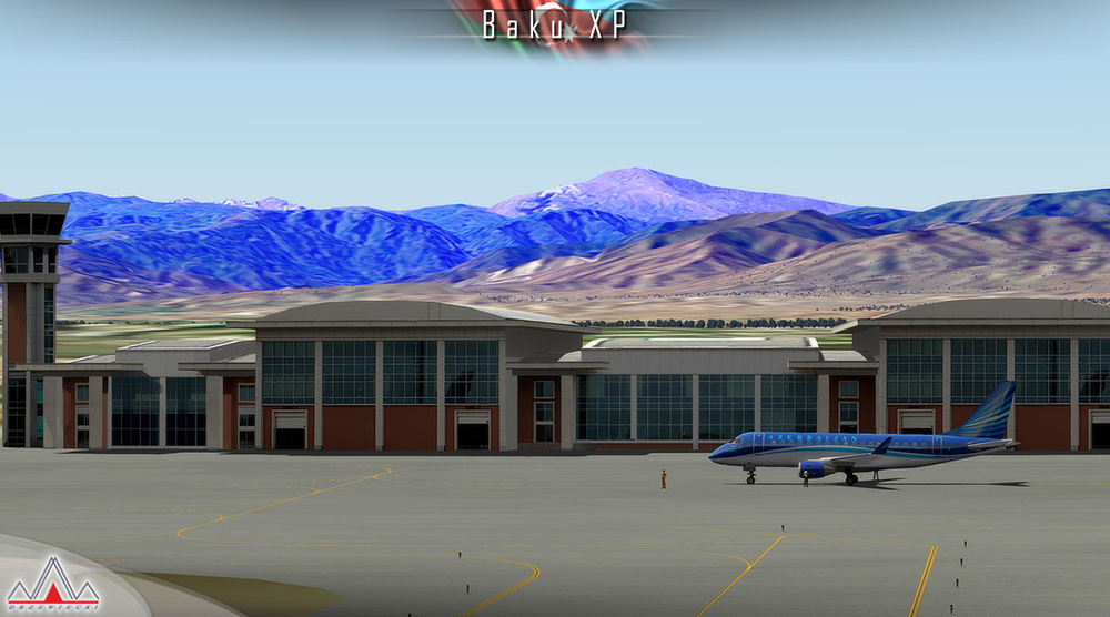
- Extremely detailed model of UBBB Heydar Aliyev International Airport in Baku
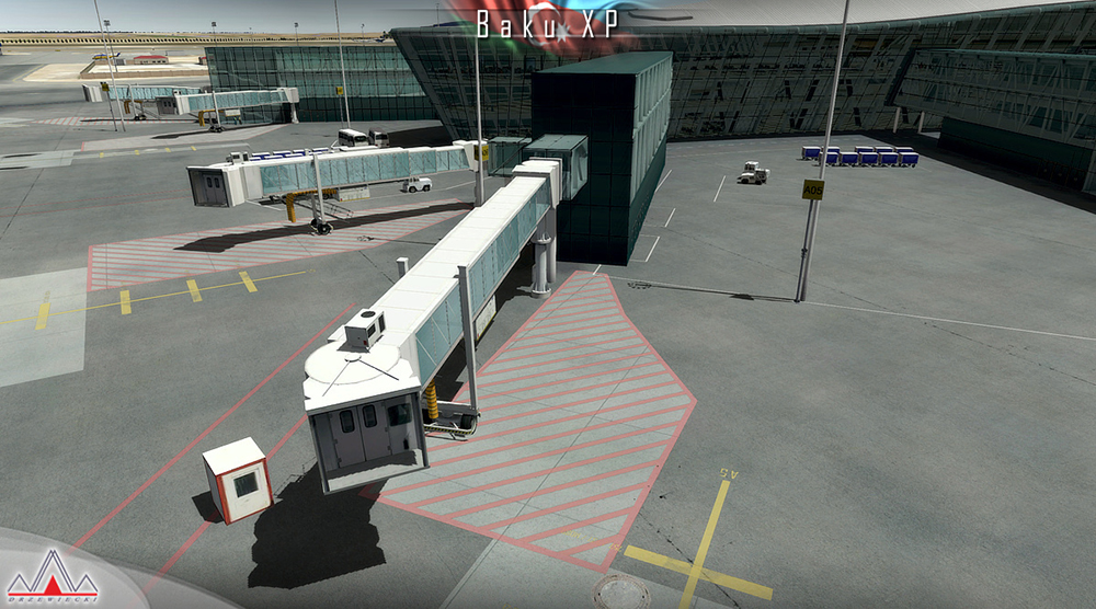
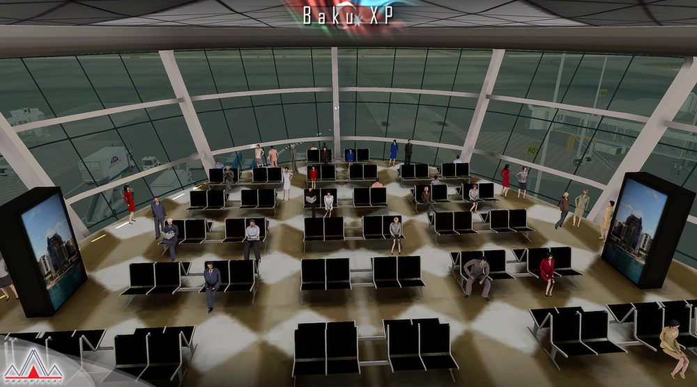
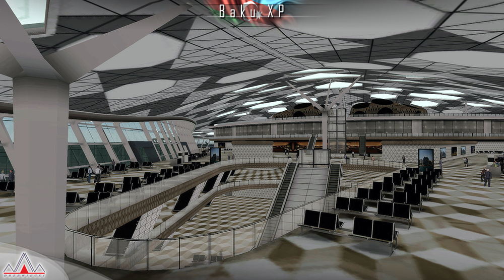
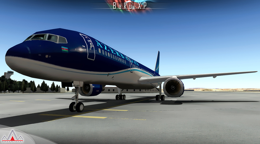
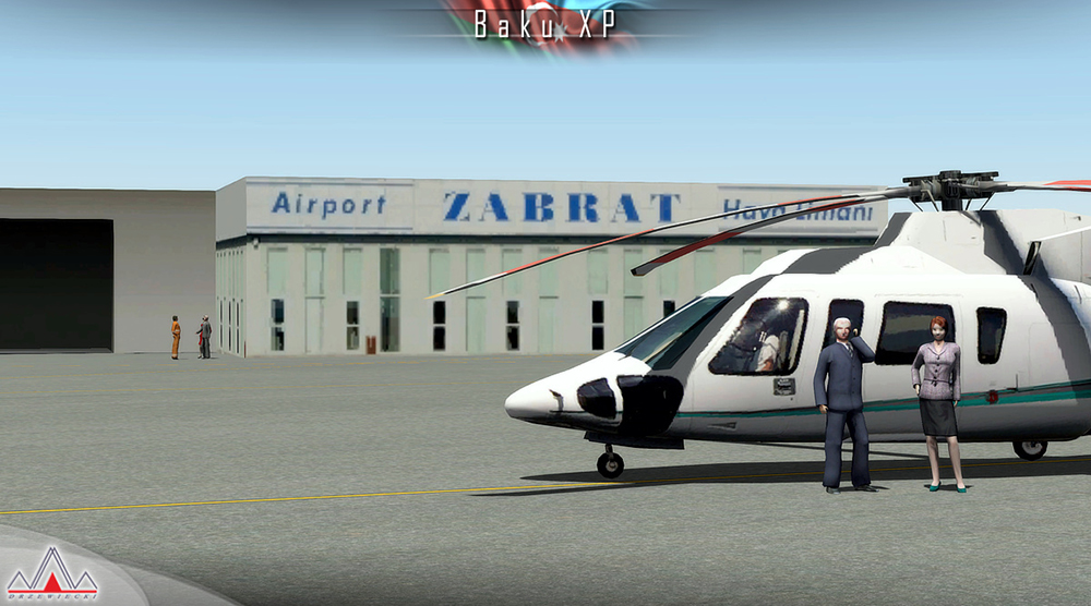
- UBBB with 3D people, high quality static aircraft, up-to-date airport layout
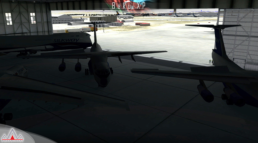
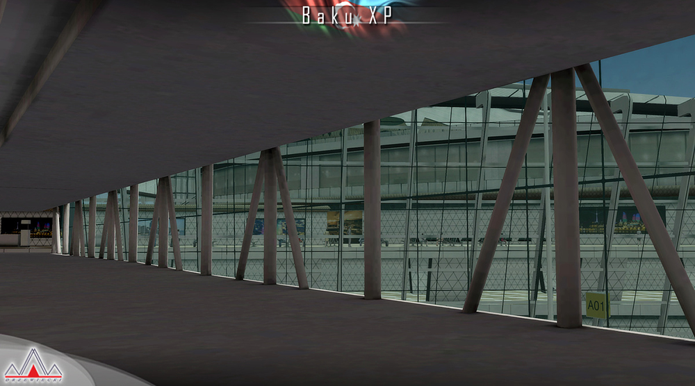
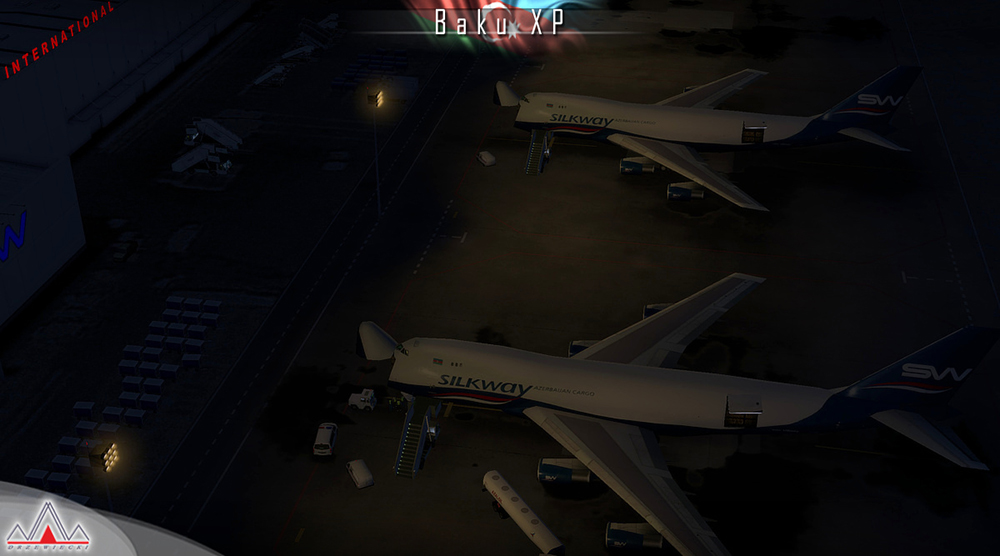
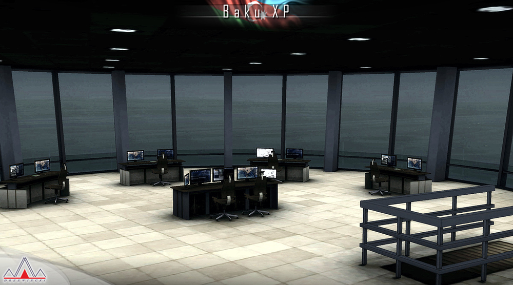
- Advanced interior modeling (Terminal 1, tower, Silkway hangar) with native HDR lights
- Baku city with hundrieds of custom-made landmarks with night textures
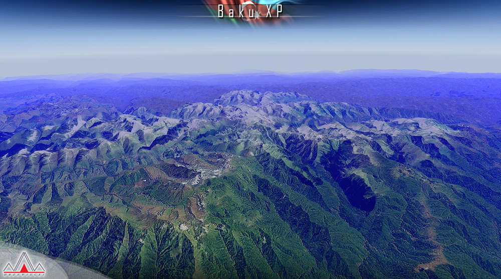
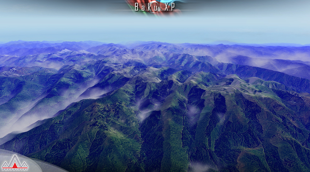
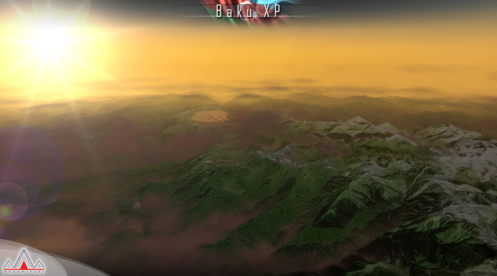
- 8m/pix optional photoreal coverage (with mesh) for the whole country of Azerbaijan (~80.000km²) plus ~8000km² of Iran, ~7000km² of Armenia, ~6000km² of Georgia and ~11.000km² of Russia (we followed mountain ranges and other georgaphical features rather than political borders)
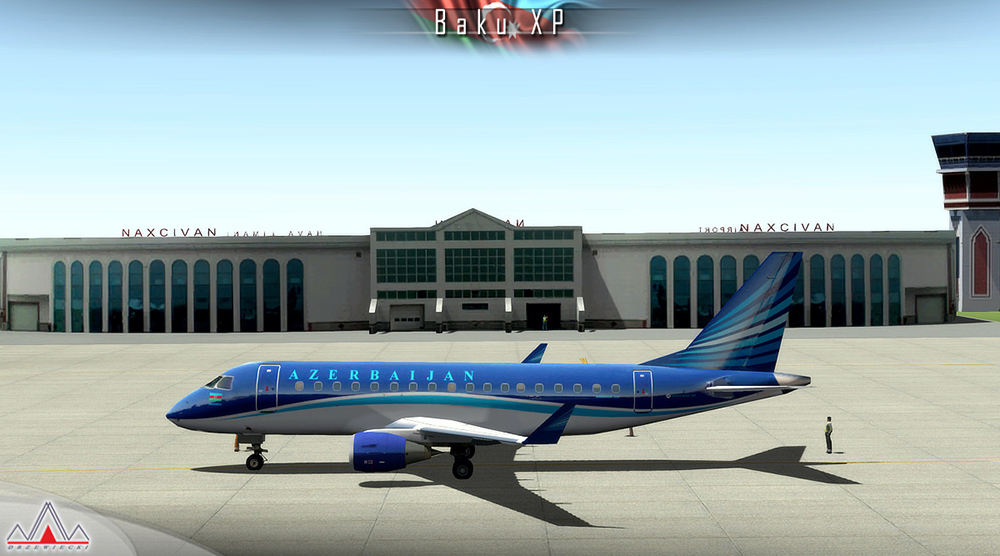
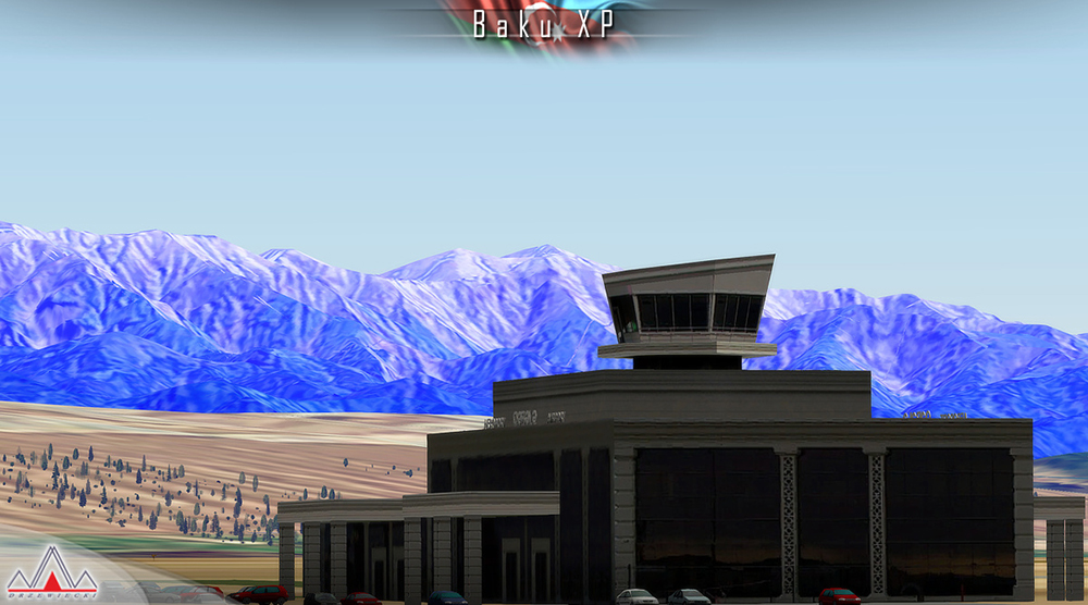
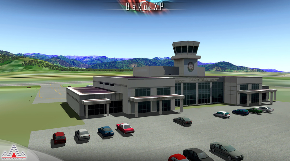
- Lite models of Lenkoran, Ganja, Nakhchivan, Qabala, Zaqatala and Zabrat
- Custom-made UBBB airport charts included
XPlane 11
Windows XP / Vista / 7 / 8 / 10 or Linux or Mac
Multi Core Processor (CPU): Quad Core 3,0 GHz
Minimum 8 GB RAM
DirectX 11 Graphics Card with at least 2 GB of on-board, dedicated VRAM
Download-Size: 850 MB
Version 1.3:
- Upgraded Baku city autogen
- Much better HDR lighting at UBBB
- New animations and other details
- New 747-8 hangar and static Embraers in Buta Airways livery
- SAM plugin support for jetway animation, VGDS and marshallers
- Airport aprons with reflections and rain effects
- The Azerbaijan whole-country photoreal has been removed as per requests of Drzewiecki's customers
NOTE: No support for X-Plane 10 any longer. This product is X-Plane 11 only!

